|
||

Welcome |
|
Contact Us |
|
|
||
|
Welcome |
|
Contact Us |
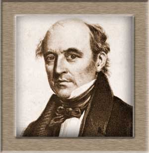
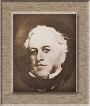
History
In the early 1800's, the white settlers in Australia remained close to the Sydney area, for reasons of safety and access to basic provisions. However as time went on, the population began to grow, and more areas were needed for growing food, and for new settlements. Inevitably, eyes turned north, as at that time, the only way to the coastal centres was by sea. Governor Macquarie was in favour of expanding the frontiers, and did whatever he could to encourage further exploration. In 1818 Surveyor-General John Oxley had gone north from Bathurst, and crossed the range over to Port Macquarie. He then journeyed down the coast - missing the Upper Hunter completely. In 1819 & 1820 John Howe, the Chief Constable of Windsor, led a couple of expeditions to the Hunter Valley from the Hawkesbury area. The second and larger one, included George and Andrew Loder, Ben Singleton, Philip Thorley, Thomas Dargin, black guides and convict servants. They arrived in the southern part of the Singleton area on St Patricks Day (15th March), and gave it the name of St Patrick's Plains. Later Singleton, Mt Thorley and Howes Valley were named after these pioneers. In 1823 Allan Cunningham explored the area around Scone and northwards, but didn't find a pass over the range to the fertile plains beyond. Henry Dangar, Government surveyor, was the next to go north. In August 1824 he was employed to go to the Singleton area to measure out the land for the new settlers going there. He went up to the areas which were later named Ravensworth, Muswellbrook, Aberdeen and Scone, and on this journey, he went as far north as Kingdon Ponds. On 9th October he reached the confluence of the Hunter with the Goulburn Rivers, and this place is where the town of Denman stands today, which is flanked by Mt Dangar. He then proceeded along the Dart Brook, past upper Wybong Creek, and over the Liverpool Range. This pass was cumbersome and Cunningham criticised it in a report he wrote in 1827, after he had crossed to the Darling Downs by this route. Next came William Nowland, who had taken up land over the range, and needed a better route for his drays and cattle. After 3 months, he found a pass above Murrurrundi, which he used in April 1827 and it is called Nowland's Pass today. Lieutenant William Ogilvie settled at Merton, which he selected in 1825 - in the vicinity of today's Ogilvie's Hill, near Denman. It became the administrative district for Muswellbrook, Denman and Jerrys Plains. Some of the other settlers in the 1820's were: Dr James Bowman of Ravensworth; Captain Francis Forbes of Skellator, Muswellbrook; his brother George at nearby Edinglassie; James Brindley Bettington of Brindley Park at Merriwa; Henry Dumaresq of St Hilliers; William Dumaresq of St Aubins, Scone; James Robertson of Jerrys Plains; James Mudie of Castle Forbes near Singleton; Peter McIntyre of Kayuga; and James Glennie of Glennies Creek, near Camberwell. Compiled by Liz Parkinson |
| Welcome to Upperhunter.org | |||
| Aberdeen | Bulahdelah | Denman | Gunnedah |
| Merriwa | Muswellbrook | Narrabri | Newcastle |
| Quirindi | Scone | Singleton | Tamworth |
| Wee Waa | Werris Creek | Early Expeditions | Nowland Bros. |